One station. Every condition. One clear view.
OptiMet turns live environmental telemetry into operational intelligence across remote assets, infrastructure and worksites — from alpine summits to river bridges and remote highways. Designed and supported in New Zealand, built for years of unattended operation in the harshest conditions.
A full sensor suite on one pole.
It thinks on the station, not just in the cloud.
Cellular with automatic satellite failover.
API, dashboard, or fully managed.
When the cell tower goes down, the data still gets through.
Every OptiMet station carries SpaceX Direct-to-Cell over One NZ — a world first. The moment terrestrial coverage drops, the station fails over to satellite on its own. No dish, no extra kit. The weather, the water level and the live image keep coming — straight through the storm.
See the connectivity story →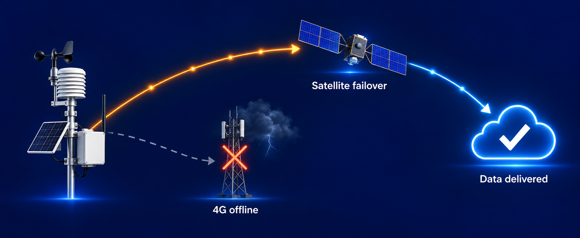
Built for the sites that matter most.
Road state, visibility & winter maintenance.
Bridges & structures3D wind, water level & live imagery.
Councils & environmentRainfall, water level & flood early-warning.
Alpine & high countryHeated sensing through snow & ice.
Farming & horticultureFrost, wind & on-site conditions.
Aviation, marine & portsVisibility, wind & coastal resilience.
Take the data your way — or let us run it all.
Pull live data through the open API, use our ready-made front end, or watch the RMS dashboard — station health, alerts and remote-in. Prefer hands-off? We run the whole thing as a fully managed service, including on-site scheduled maintenance.
Explore the platform →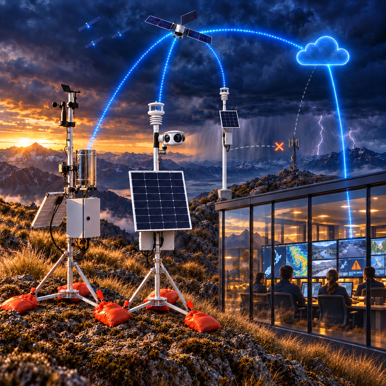
Live through a major weather event — not a single missed reading.
OptiMet stations have run live across Central Otago through a major South Island weather event, auto-switching between satellite and terrestrial as conditions changed — and delivered every data point, the whole way through.
See the deployments →See further. Respond sooner.
Put an OptiMet station on a site that matters — wherever it is, the data gets through.
Request a demonstration