
Built for the sites that matter most.
One station platform, configured to the job. Here’s how OptiMet works across the sectors that depend on data from hard-to-reach places — and the sensors that make each one happen.
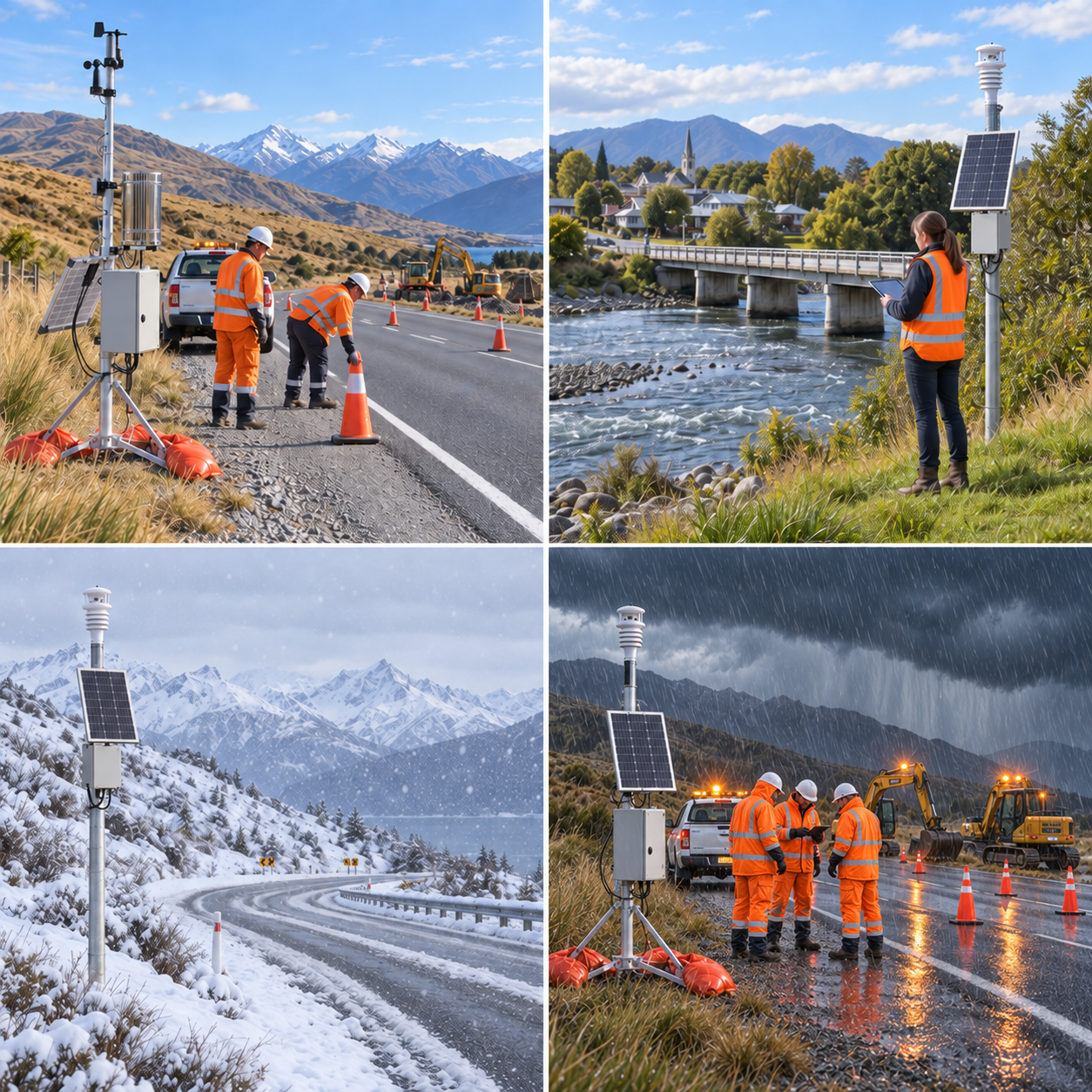
Know the road before the crew does.
Road-state sensing tells you when a surface is turning to ice, slush or water — and live imagery shows what a report can’t. Visibility and wind round out the picture for winter maintenance, closures and safety response, on exactly the remote stretches where coverage is thin.
- Road surface state & temperature (ice / snow / water / grip)
- Visibility for fog & closure decisions
- Live 180° camera imagery, weather-triggered
- Wind, rain & the full weather suite
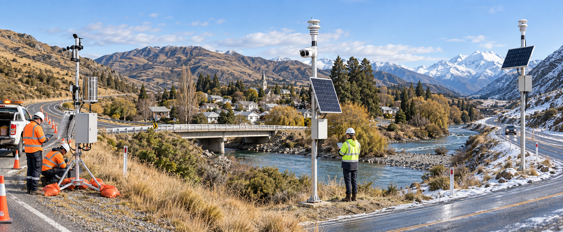
Eyes on the span when the river rises.
3D wind sensing captures the vertical component that matters on an exposed span, while water-level and live imagery show what’s happening under and around the structure in real time. When a river comes up at 2am, the data — and the picture — are already on their way.
- 3D wind incl. vertical component for structural monitoring
- Water level via Modbus sensors
- Live imagery of the span & channel
- Threshold alerts straight to the right people
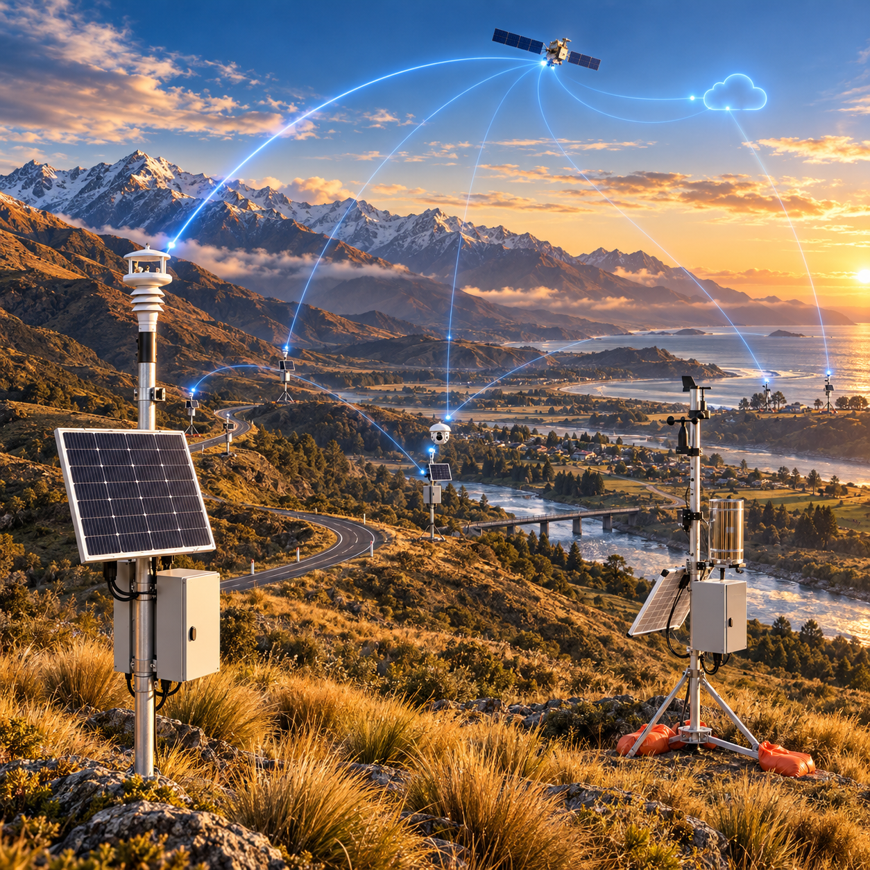
Measure everything to do with water — anywhere.
Rainfall, water level, flow and the full environmental picture from sites conventional telemetry can’t reach. Place a station where it matters — a remote catchment, a pump station, a flood-prone reach — and we get the data out, for early warning and long-term record alike.
- Rainfall & water level for flood early-warning
- Pump-station & flow monitoring via Modbus
- Air quality & the full weather suite
- Open API into council systems & dashboards
Keeps reporting when everything freezes.
Heated sensing keeps wind and precipitation readings alive through snow and ice, solar-and-battery power runs the station off-grid for years, and satellite failover means the data gets out even when the pass is cut off. Built and rated for −50°C.
- Heated anemometer for snow & icing
- Radar precipitation (identifies rain / snow / hail)
- Off-grid solar/battery, −50°C rated
- Satellite failover for cut-off sites
On-site conditions, not the nearest town’s.
Frost risk, wind for spraying, rainfall and the microclimate that actually sits over your block — measured on the property, not inferred from a station 30km away. Place it in the orchard or the paddock and pull the data into whatever you already use.
- Frost & temperature inversion monitoring
- Wind for spray windows
- Rainfall & soil-adjacent conditions
- Open API & alerts to your phone

Visibility & wind where coastlines turn.
Corrosion-grade visibility and wind sensing for exposed coastal, port and aviation sites, with satellite resilience for the ones at the end of the line. The readings people make go/no-go calls on — delivered without the gap.
- Marine-grade stainless visibility sensing
- High-accuracy wind, incl. stainless claw build
- Full weather suite & present-weather ID
- Satellite failover for remote coast & airfields
Tell us the site — we’ll spec the station.
Every OptiMet sensor runs Modbus, so a station is built to the job. Use the selector to narrow it down, or just tell us where it’s going.
Put a station on a site that matters.
Whatever the sector — measured, thought through, delivered.
Request a demonstration